
Su
Surveying
Su
Turning data into direction.
Licensed surveyors and full-time field crews
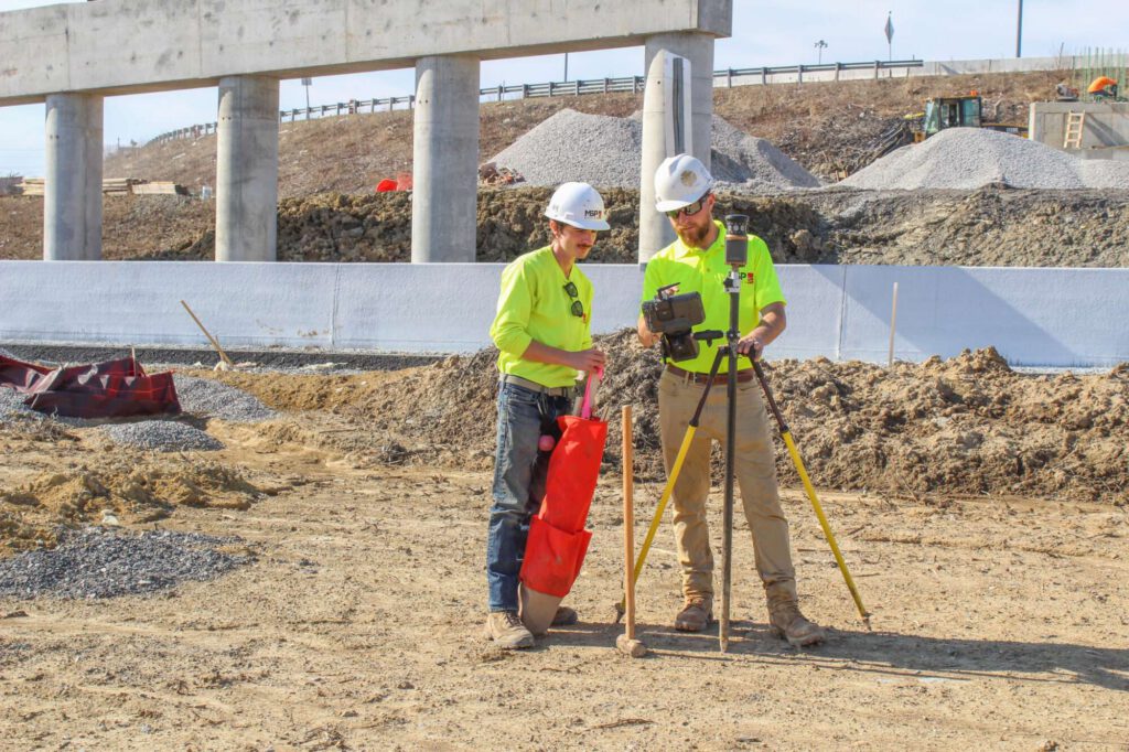
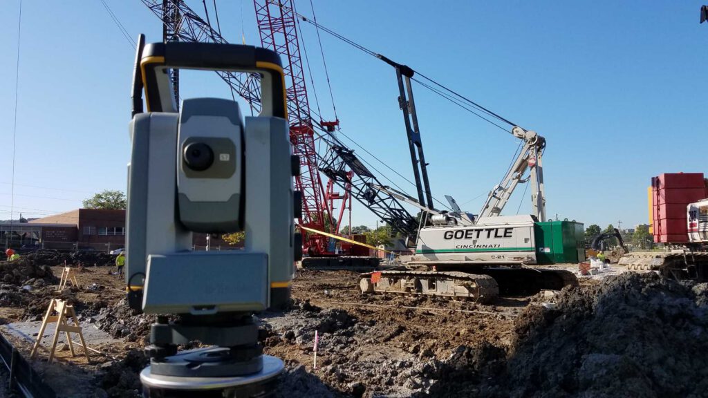
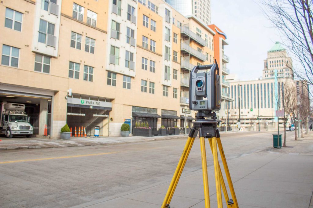
Every successful project is built on a solid foundation that starts with accurate surveying. Our surveying team has been mapping the Cincinnati region since our beginnings. We keep in-house records from historical archives dating back to 1856 so we often know a site's history before we even set foot on it. Licensed surveyors and full-time field crews handle everything from boundary resolution to CADD drafting, backed by GPS and drone-based reality capture to get an accurate picture fast. Whether it's one site or several at once, we have the crews to keep your project moving.
Our areas of service include:
- Boundary surveys
- Topographic surveys
- ALTA/NSPS land title surveys
- Right-of-way plan development
- Construction layout
- GPS services
- Utility inventory
- Corridor surveys
- Monitoring surveys
- FEMA elevation certificates
- Building permit/site plan
- Expert witness
Reality Capture/Drone Services
- Digital terrain models
- 3D surface for civil 3D (Tin)
- Stockpile volume analysis
- Grading as-built drawings
- Earthwork cut/fill analysis (heat maps)
- High-res aerial imagery
- Construction monitoring
- Building evaluations
Additional drone services
- Project photos
- Project videos
Contact Richard

Rick Nichols
Executive Vice President
"*" indicates required fields
Related Projects
See more