Ready to elevate your survey game with our drone services?

What is Reality Capture?
Reality Capture is simply the activity of quickly and cost-effectively collecting the best, most accurate data about real-world conditions.
Methods of Reality Capture
- UAV* photogrammetry
- UAV lidar
- Terrestrial laser scanning (Buildings)
*UAV – unmanned aerial vehicle
What is Photogrammetry?
- Photogrammetry is the science of measuring from images.
- The primary input is overlapping images
- The primary outputs include measurements and 2D or 3D representation
How does it work?
If you can identify the same thing in at least two images and you know a camera’s external and internal parameters, you can compute a point’s position in 3D space.
What is RTK?
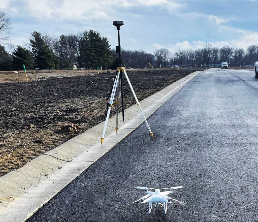
Real-Time Kinematic (RTK) is a GPS correction technology technique that provides real-time corrections to location data when the survey drone is capturing photos of a site.
What about Accuracy?
The real-time geotagging, plus corrections from a base station on the ground, means unprecedented reliable data accuracy for your drone surveys.
DJI has brought surveying workflows closer to real-world accuracy than ever before—unparalleled accuracy within 1/10ft.
The accuracy is enhanced with the use of Ground Control Points (GCPs).
What are GCPs?
Ground Control Points are placed around the site. These “targets” are captured during the drone flight. Our field crews locate these in the field, capturing their precise X,Y,Z locations.
What projects are good candidates for drone surveying?
- 5 – 500 acres
- Up to 20 miles (corridor)
- Low to moderate vegetation
- Topo mapping
- ALTA surveys
- Planimetrics
- Volume calculations
What projects are NOT good candidates for drone surveying?
- Very large projects (>500 Ac.)
- Dense vegetation and tree cover
- Extremely high accuracy needed
- Indoor/underneath overhangs
- Underneath trees
Is It Only for Base Mapping?
- Construction monitoring
- Track progress and verify quantities
- Site/building rvaluations
- Building issues on the roof
- Were AC units placed correctly?
- Updated orthophotos
- Isometric building photos
UAV Flight Specifics
- Can fly up to 400’
- Must maintain visual line of sight
- Preferred height is 200’
- Can fly lower if greater detail is required.
- Overlap
- 75% Front and Side
- Flight time per battery: 20 – 22 minutes (we have four batteries)
- Software: Pix4d Survey, Pix4d Matic, Virtual Surveyor
MSP Design Reality Capture Deliverables
- Digital terrain models
- 3D surface for civil 3D (TIN)
- Volume analysis maps (heat maps)
- High-res aerial imagery
- Marketing photos
- Marketing videos
- Construction monitoring documents
- Building inspections
MSP uses the DJI Phantom 4 RTK drone and D-RTK 2 Base Station for our drone services.

